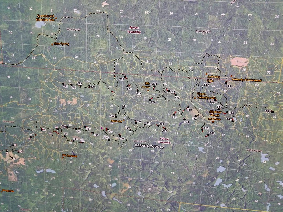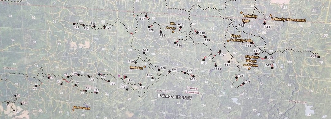
RES unveils new map showing they may have reduced the number of turbines (for now?) but are still looking to destroy the same footprint.
Take a good look at where they plan to put the Wind Industrial Park.
The amount of devastation and the beauty we stand to lose, is heartbreaking.
*Note many of the “landmarks” are off on this map.
1) upper letharby falls is in the wrong spot. T42 is within a 1/4 mile of the upper falls.
2)Plane wreck is in the wrong spot. T44 is the plane wreck!
3) “there will not be turbines on Mt Arvon” THEY SAID!
but this shows 5 within a mile of it, 3 within a half mile.