Some Useful Tools Used.
Google Maps.
Google Map of Turbine Locations for the Summit Lake Project
MiWaters Water Resources Information and Forms:
Federal Aviation Administration, Obstruction Evaluation
FAA Search – See Proposed FAA information HERE
Michigan Office of Aeronautics
Michigan Tall Structures and Met Towers
NOAA Weather Radar Siting Tool
NOAA NEXRAD Screening Tool
Analysis of your proposed project’s impact on the NEXRAD radar network by using the new NOAA NEXRAD Screening Tool.
Surface Elevation Tool
The Surface Elevation Tool can be used to analyse the surface elevation profile from one point to another to determine line-of-sight.
NREL: Wind Prospector

This GIS application supports resource assessment and data exploration for wind development.
Wind Turbine Shadow Calculator
Figure out the Shadow of an object over time.
Example: One Turbine just east of Mount Arvon.

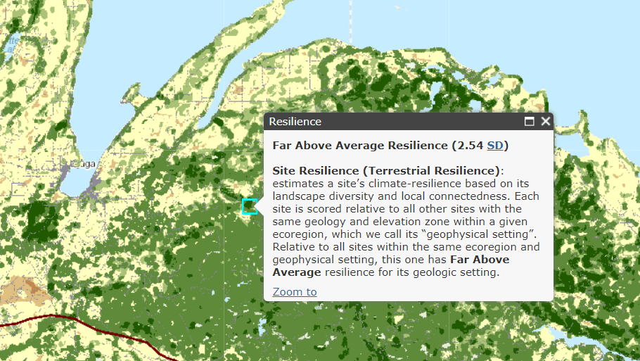
Resilient Land Mapping Tool

Resilient Sites for Terrestrial Conservation in the Great Lakes and Tallgrass Prairie Region – Report
Calculation/ Mathematical Tools:
Sweep Area of Blades pi x Radius² = Area Swept by the Blades.
Metric Turbine Blade Tip Speed Calculator
Example of how to calculate blade tip speeds:
A 2.5 MW wind turbine has a diameter of 100 m. Therefore, the blade tip traces a circumference of 100 m times pi = 314.159 m / revolution. Using 16 revolutions per minute example, the calculations are:
- 16 revolutions per minute x 314.159 m = 5026.55 m per minute
- 5026 m per minute x 60 minutes per hour = 301,593 m per hour
- 301,593 m per hour / 1,000 m per km = 302 km/h!
Ice throw Setback Calculations<!— fix sharing
Wind Turbine Blade Tip speed Calculator —>
2000 Wind Energy in Cold Climate Final Report presents an empirically derived equation for maximum throwing distance: The Equation only provides a rough estimate
of the risk zone: = 1.5 x (hub height + rotor diameter)
